Woodland loop
- Length
- 3.1 km
- Duration
- 2 hours
- Elevation gain
- +90 m
- Difficulty
- Easy
- How to travel it
- On foot
- Best period
- Da maggio a ottobre
Route map
Map provided by OpenStreetMap: to display it, your browser sends your IP address to the map server, without cookies. Cookie and third-party content notice
Description
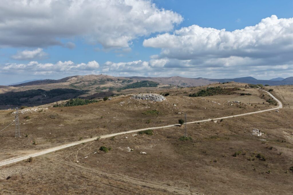
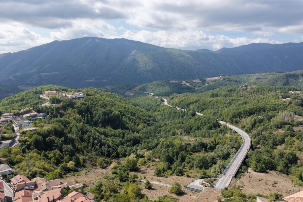
A loop trail through the woods around the village, starting and ending near the mountain hut.
Stops
-
Mountain hut
A municipal facility run by a local operator, starting point for hikes and outdoor events. -
Woods and trails
Woods and trails around the village, for walks and hikes in nature.